
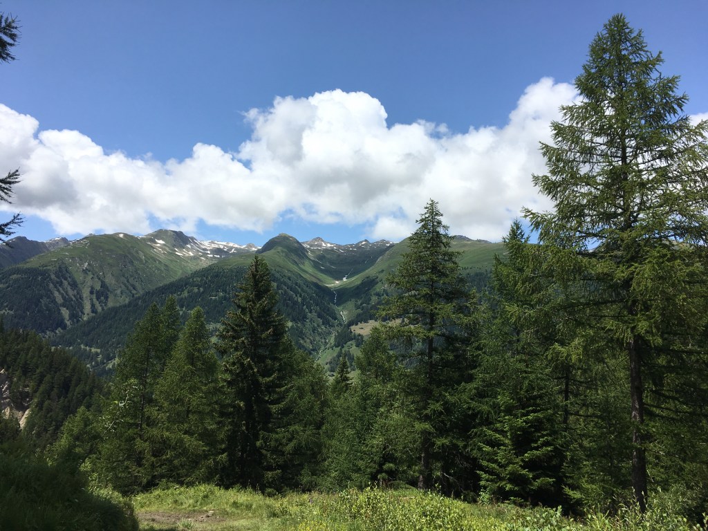
From the 12th to the 16th of July 2019, I hiked with a friend in the Gotthard region. We loosely followed the Vier-Quellen-Weg (the trail follows the sources of the four rivers Rhine, Reuss, Ticino and Rhone). The first two days we adjusted the route so it would be easier to find a place to stay the night. We were really lucky with the weather, but a bit surprised it still had that much snow.
Day 1 – from Oberalp Pass over the Pazolastock to the Tomasee, which is the source of the River Rhine and then back to the Oberalppass (15 km)
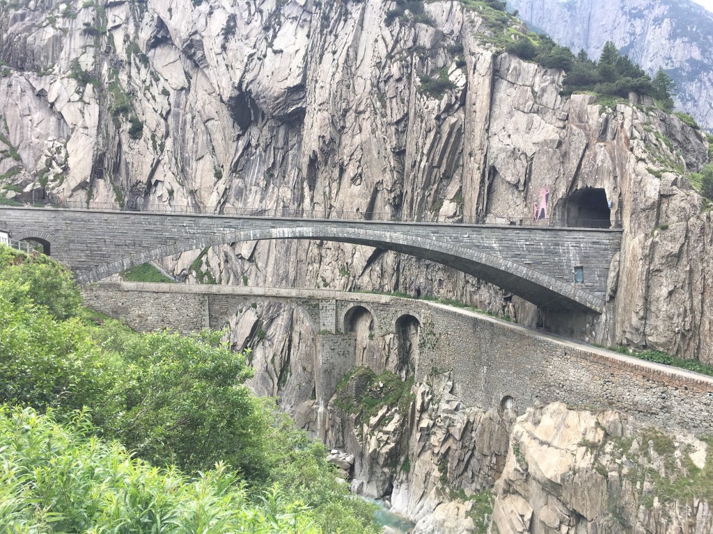
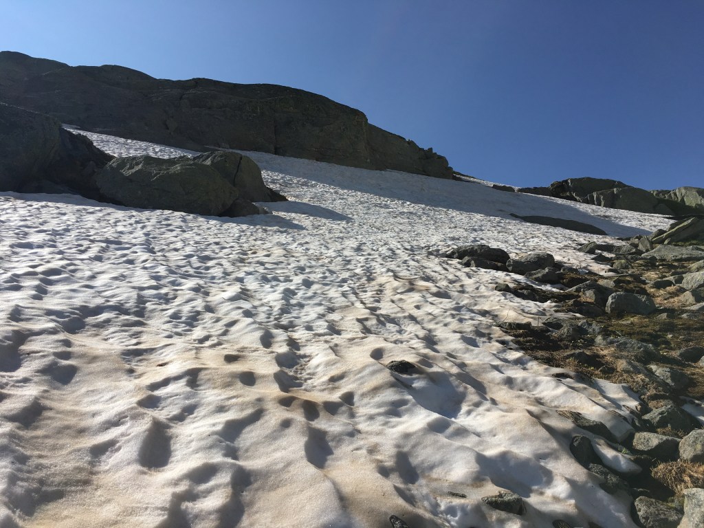
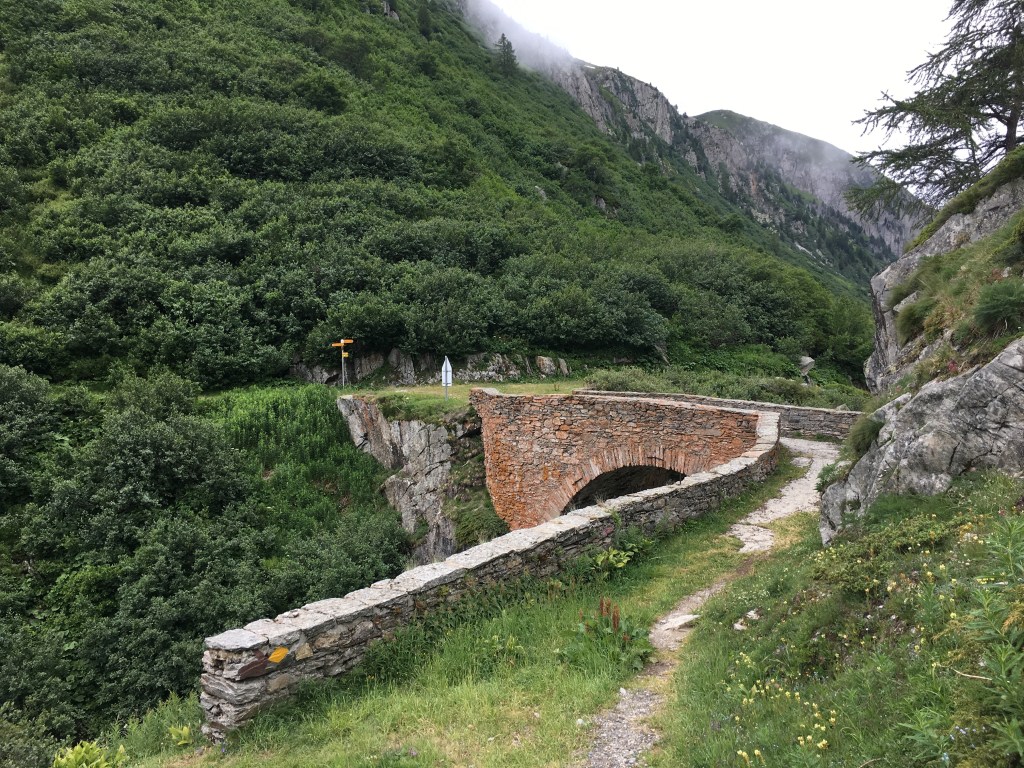
We took the train from Andermatt to the Oberalp Pass which is already 2044 meters high. From there we hiked up the 2739-meter high Pazolastock. Even though it was already the middle of July there were still lots of old snow field we had to pass. From the summit it went down to Lake Toma, the source of the Rhine. The last bit back to the Oberalp Pass was an easy hike. We even had time to go to the famous Schöllenenschlucht in the evening. Legend has it that the devil helped build the bridge over the dangerous gorge und thus opened the path over the Gotthard for trade.


Day 2 – from Andermatt up to the Gotthard Pass (15 km)
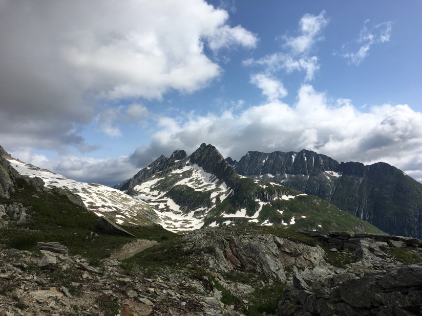
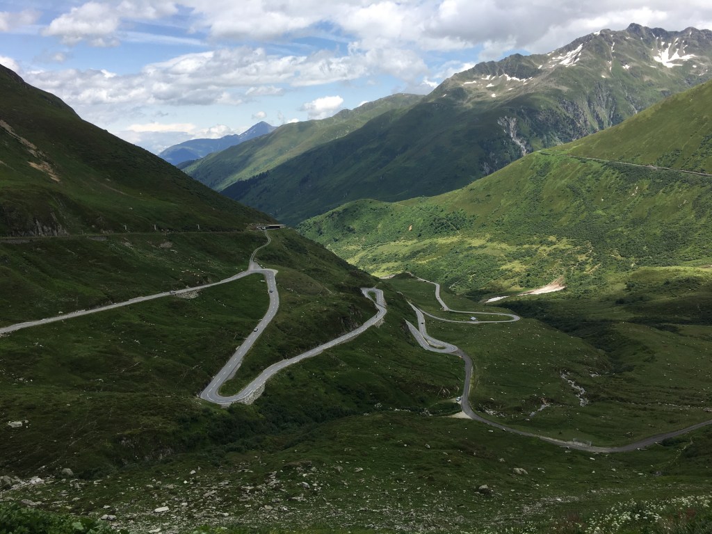
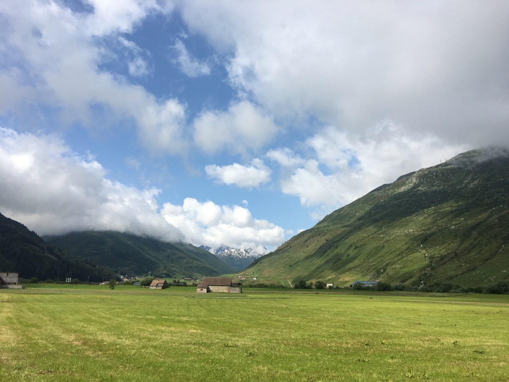
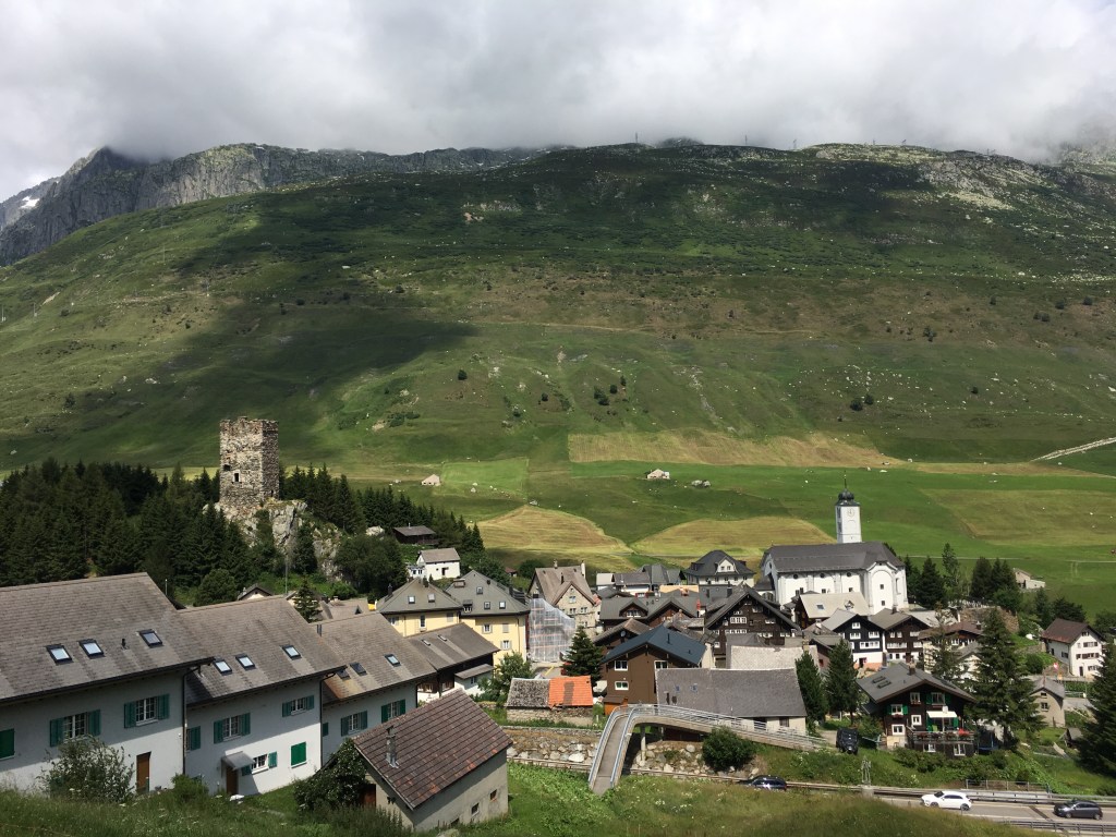
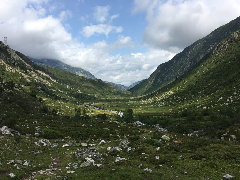
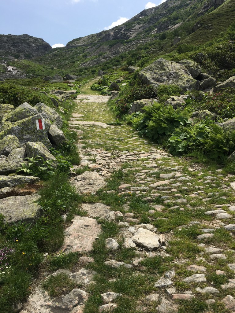
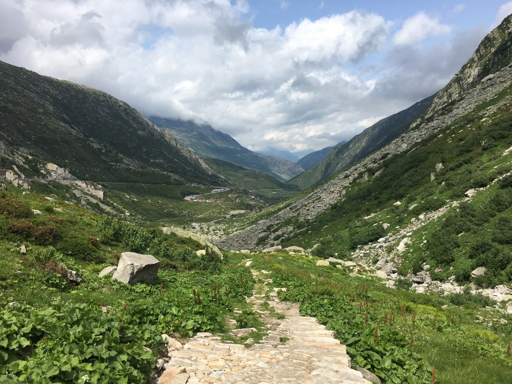
I already hiked up the Gotthard Pass a few years ago and I really like this hike. The first few kilometres from Andermatt to Hospental are still flat. Then you pass the old pass road for the first time, and it starts to get steep. You come to the first high valley, where you follow the old mule-driver path. There was a huge herd of goats and we helped catching three that escaped.
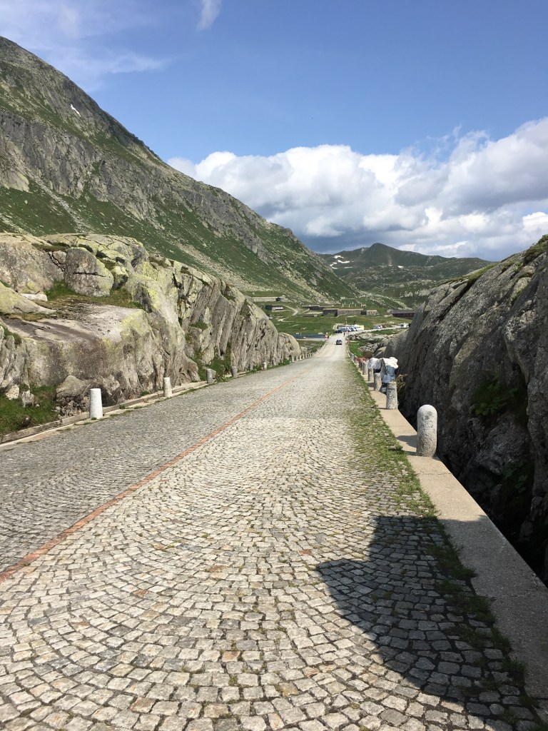
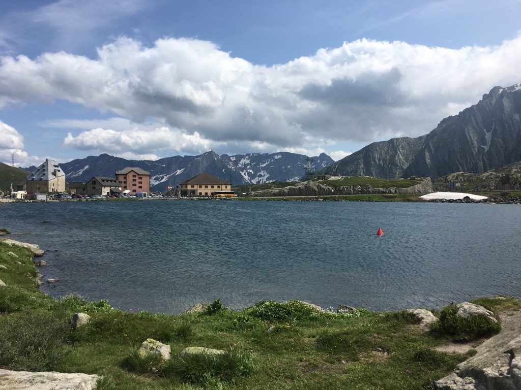
Even though the street over the pass is never far, it is a very tranquil and beautiful landscape. There is another steeper part before it the plateau of the pass is reached. We stayed in the old Albergo San Gotthardo, which was a highlight.

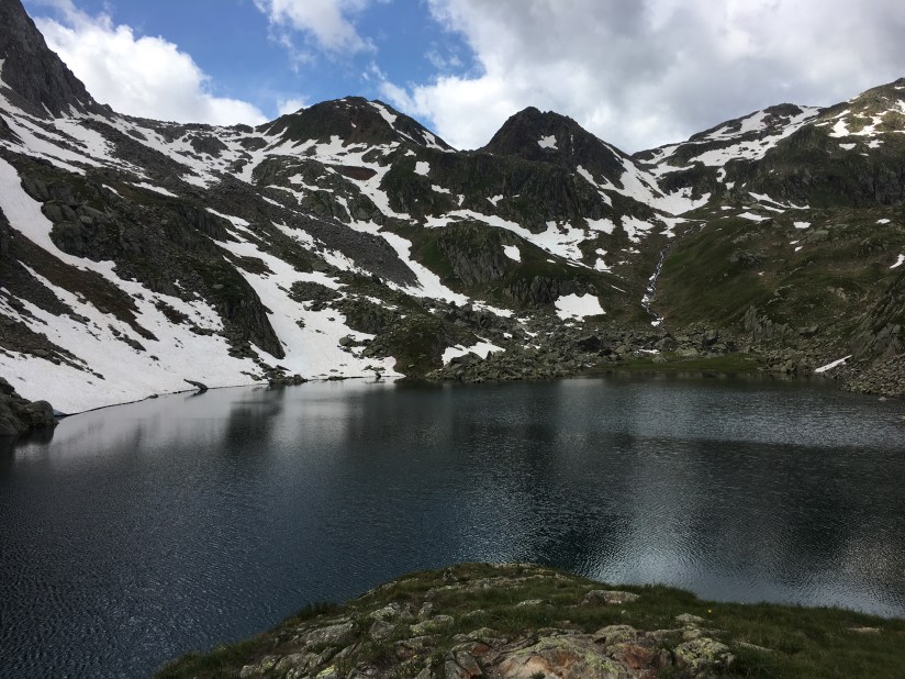
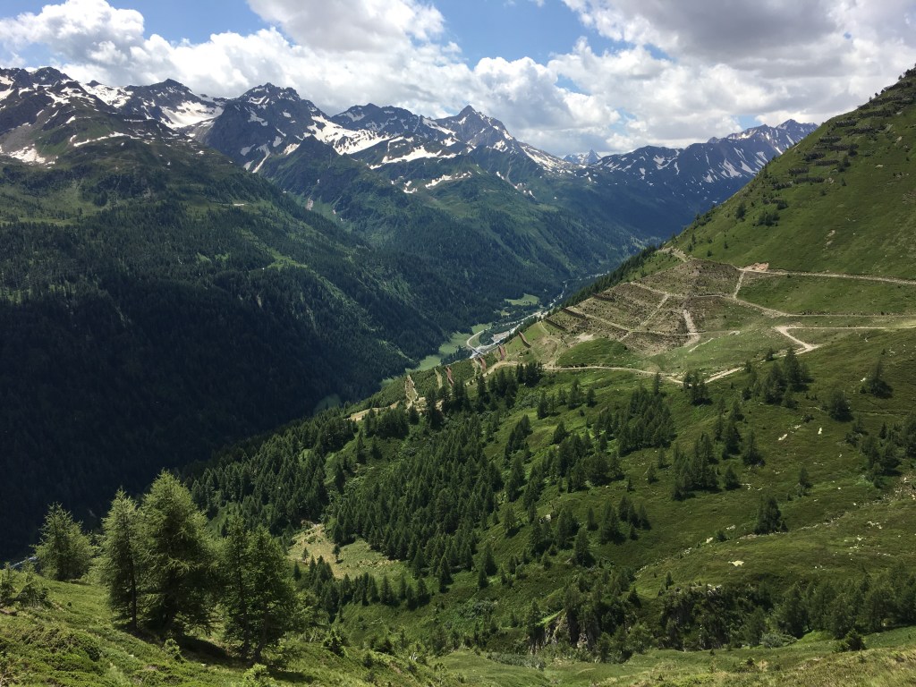
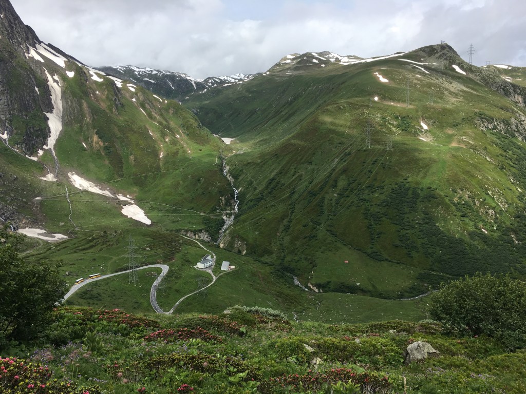
Day 3 – from the Gotthard Pass to Bedretto (17 km)
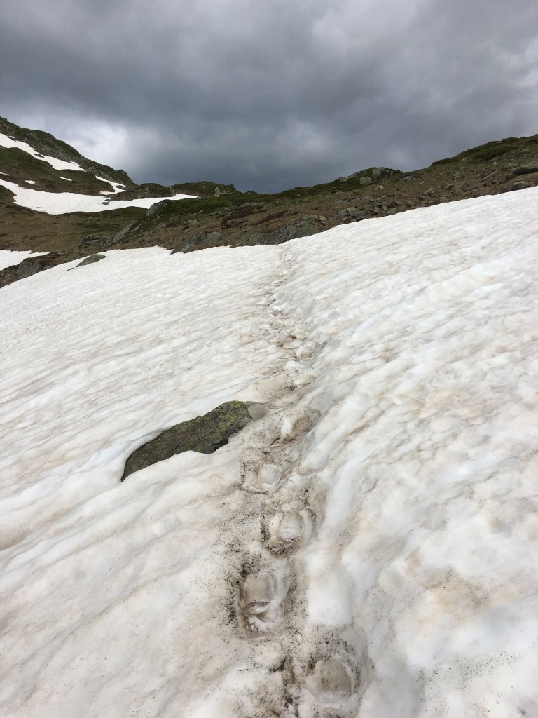
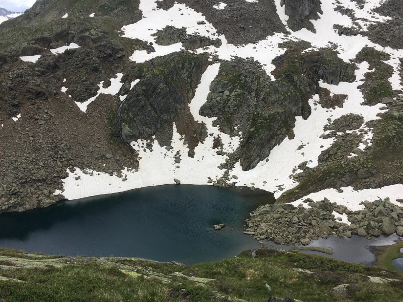
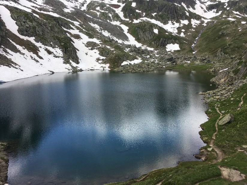
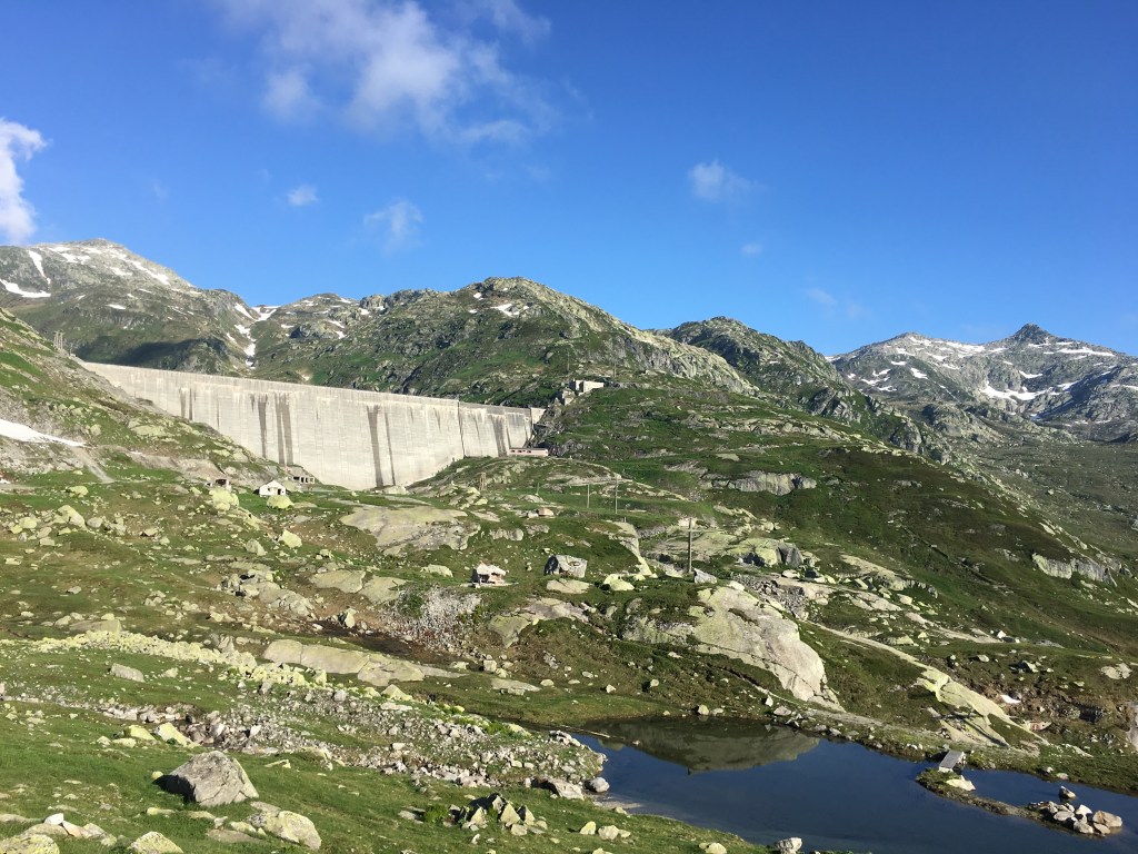
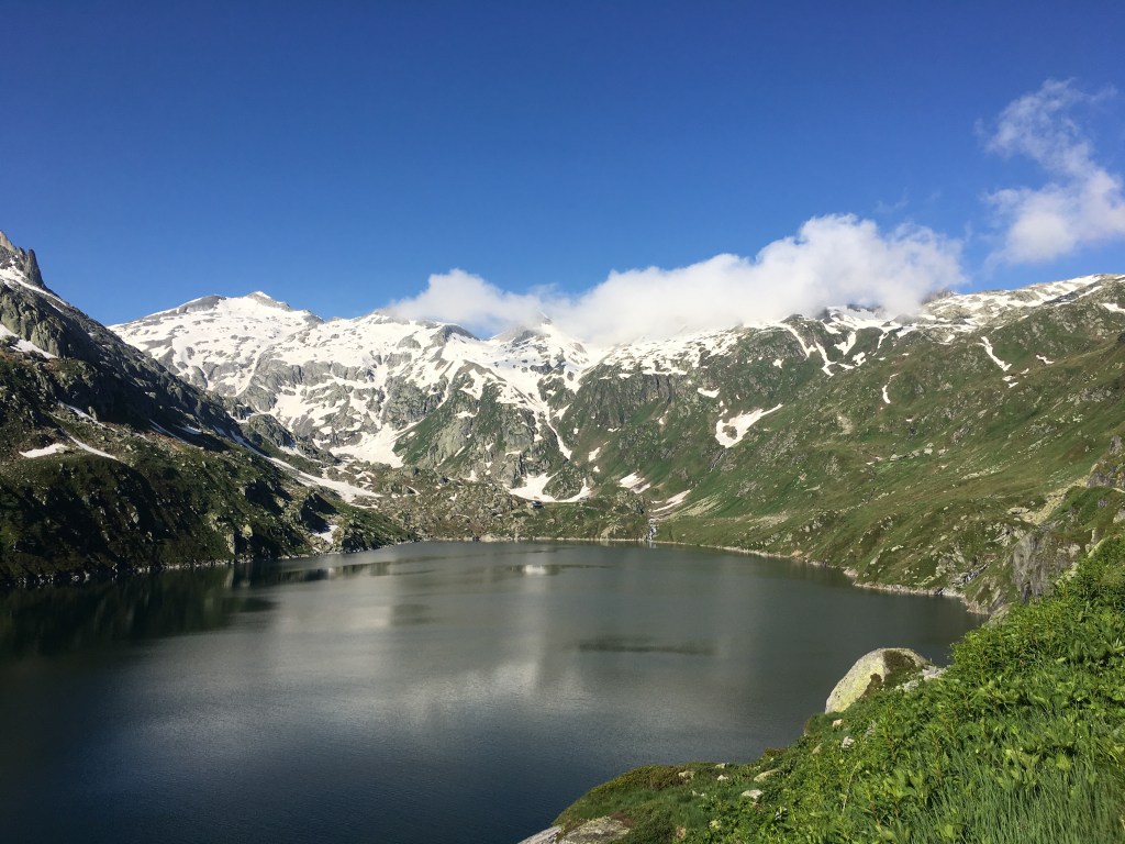
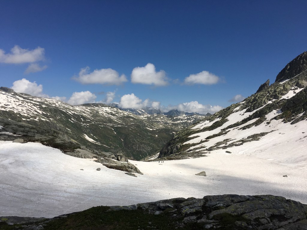
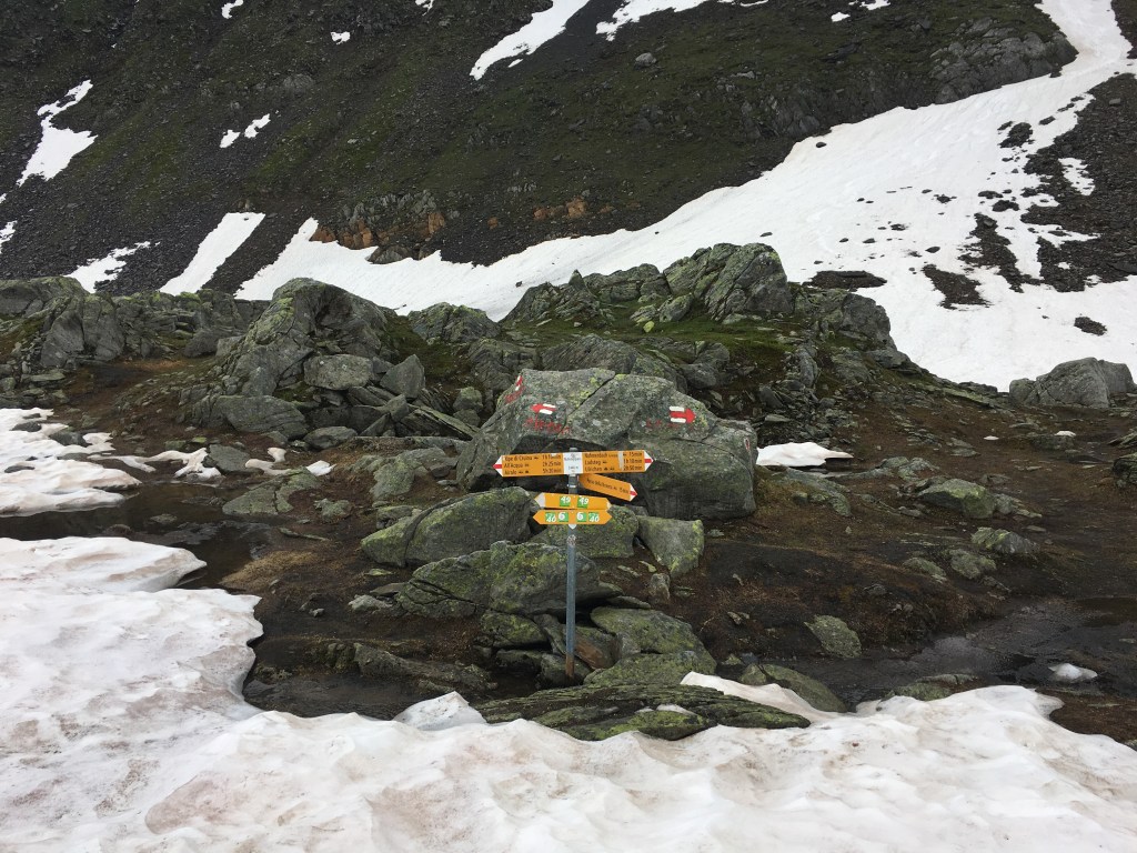
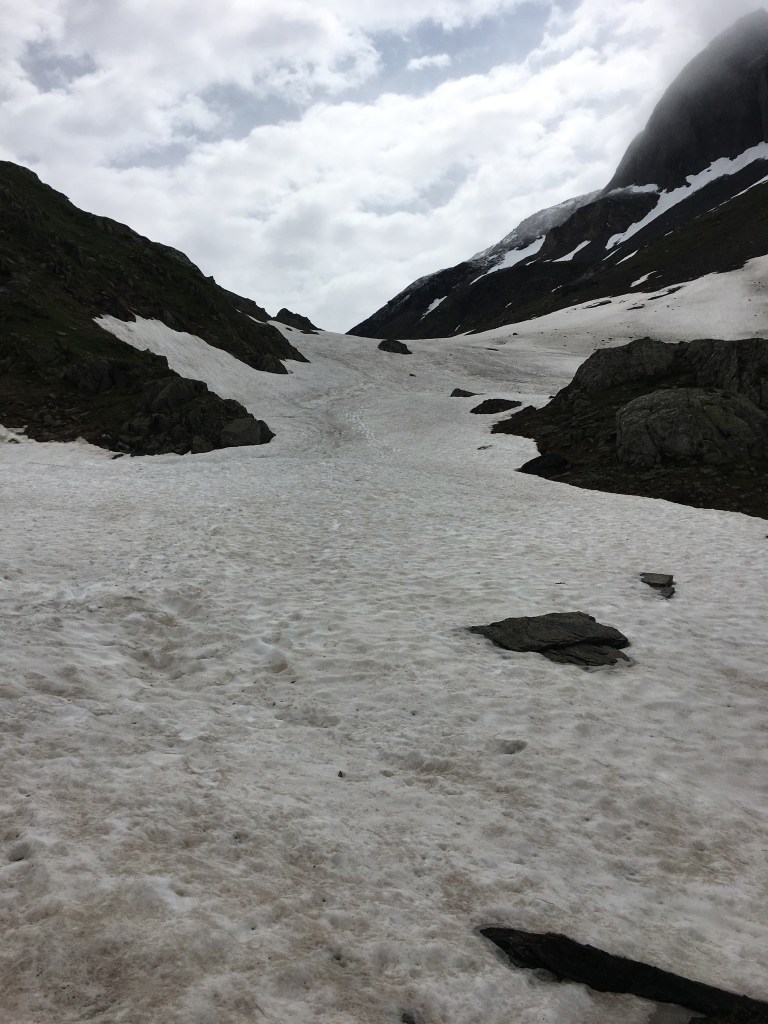
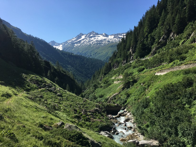
We started early on the Gotthard Pass. From there we walked to the dammed lake Lucendro, which we followed to the end. The it went up to the Lucendropass (2522 m). Some of the snow fields were still really big and some quite difficult to traverse. The source of the River Reuss is a nameless lake close to the pass. But it was still covered in snow. We only took a short break on top as there were more snow fields to come on the way down. Luckily there were good tracks from other people.
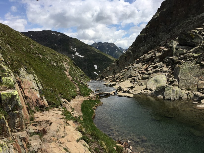
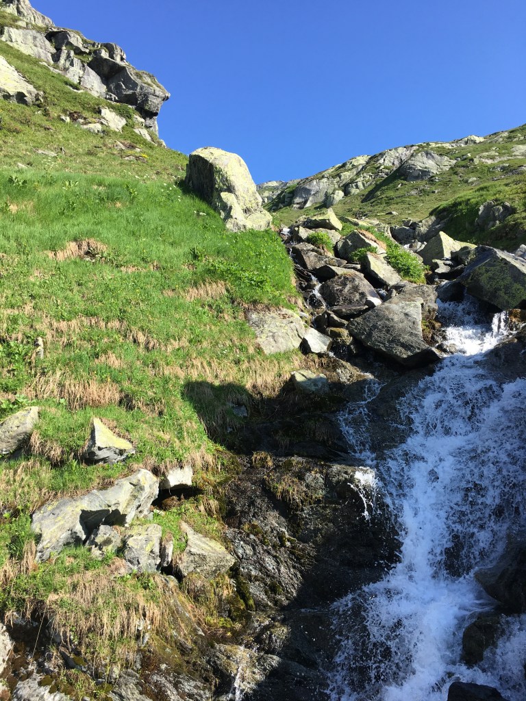
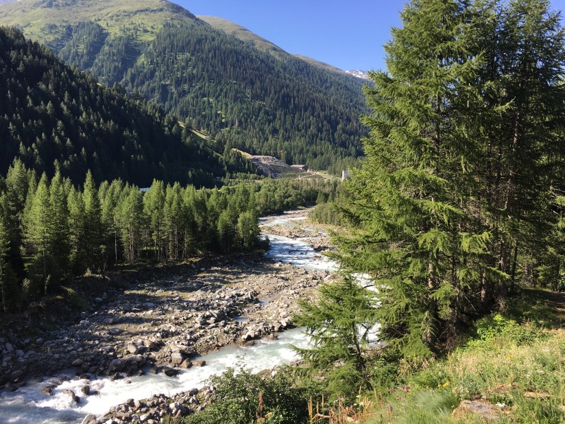
Once we came down to about 2000 meters the snow was gone and the path mostly flat before it dropped into the Bedretto Valley. For the last few kilometres to our hotel, we took the bus, so we didn’t have to walk along the road.


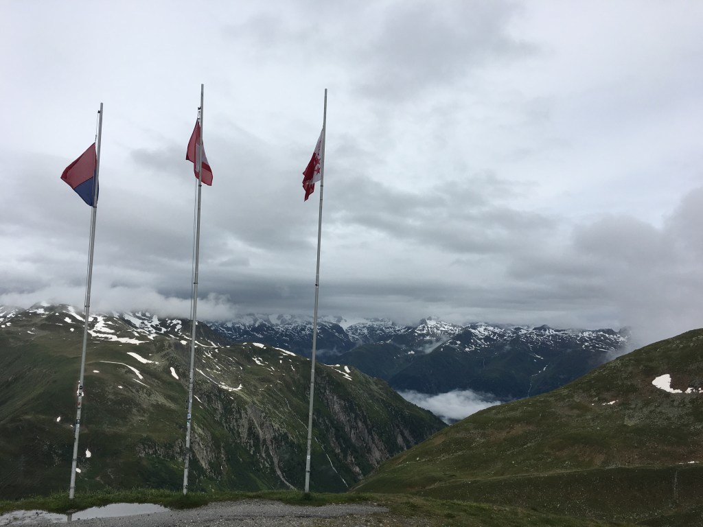
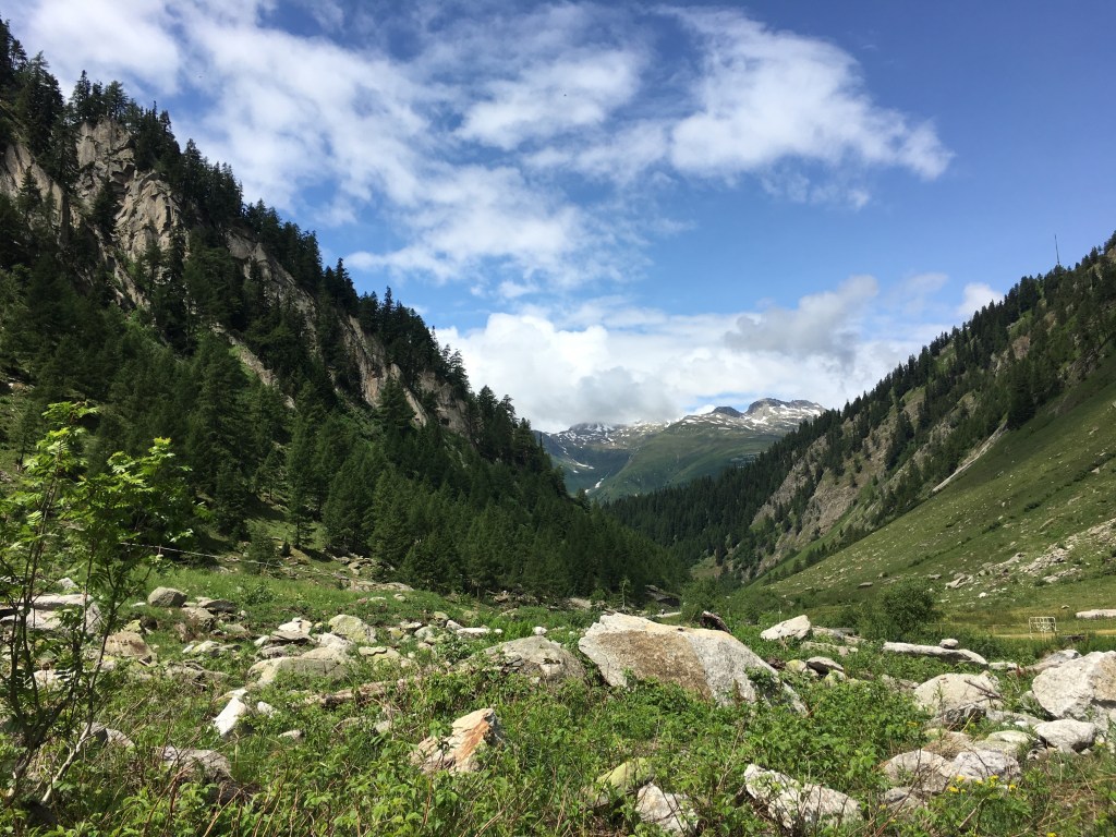
Day 4 – from the Nufenenpass to Obergesteln (16 km)
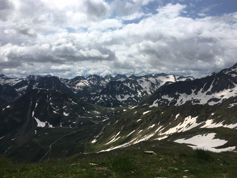
The morning started with heavy rain. We decided to take the bus up to the Nufenen Pass and wait in the restaurant for the weather to clear. It meant we would not walk by the source of the River Ticino but in this weather, it was not worth it. At around 10am it stopped raining and we set out.
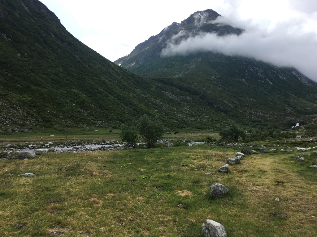
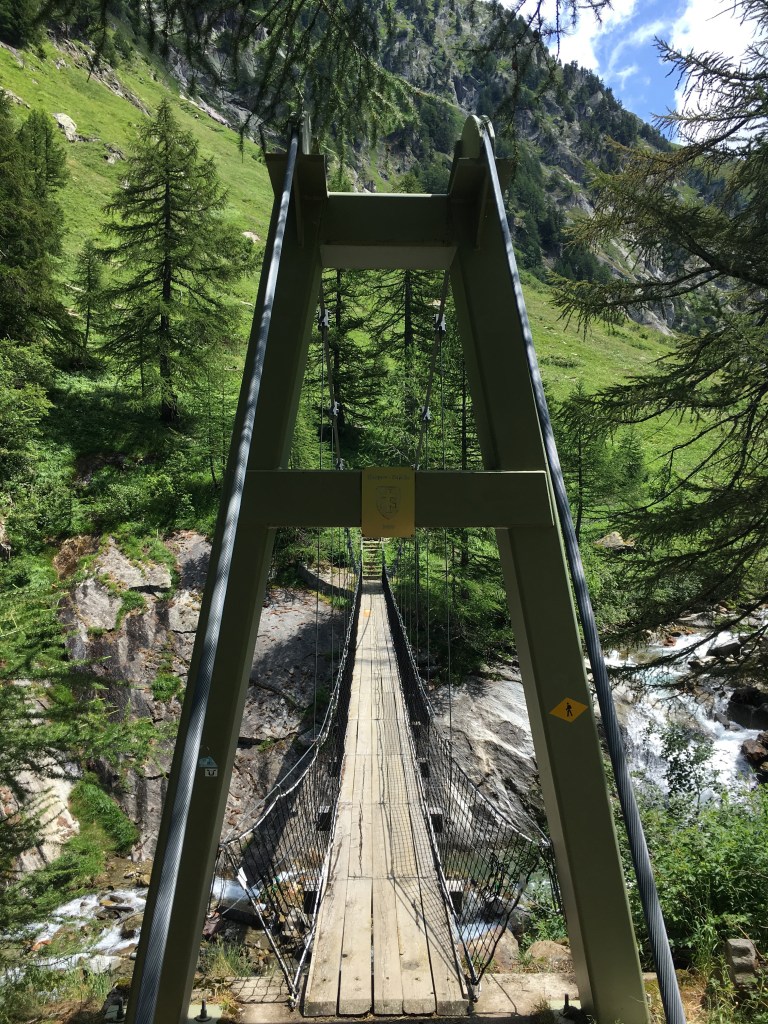
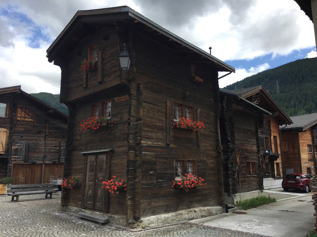
The Nufenen Pass is 2440 meter high, and we walked down to Obergesteln which is 1355 meter. It went mostly down, first along the pass road and then through a nice high valley next to a small River Ägene. The path also went over a suspension bridge. The last part from Ulrichen to Obergesteln we followed the last of our rivers the Rhone. Both villages have some beautiful wood houses that are common in the Obergoms part of the Wallis.


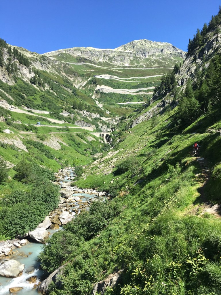
Day 5 – from Obergesteln to the Furka Pass and the Rhone Glacier (20 km)
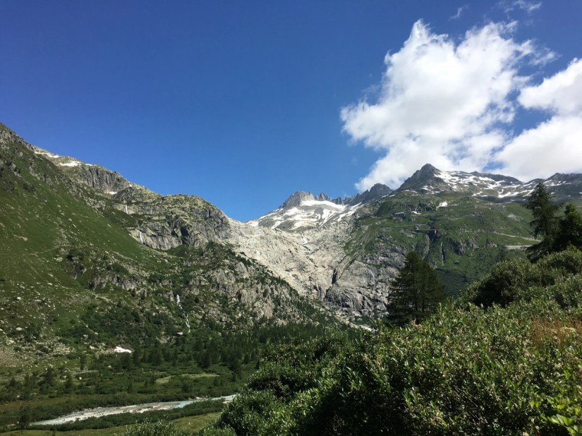
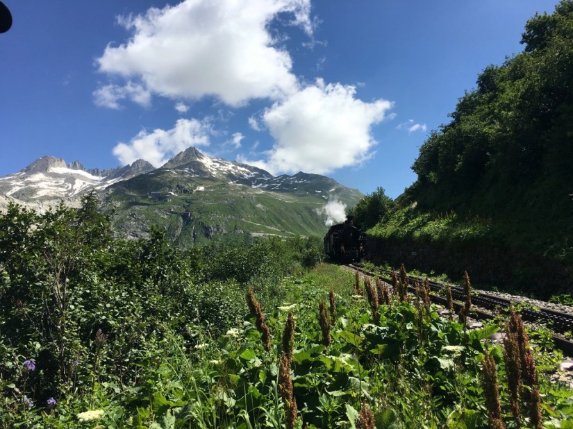
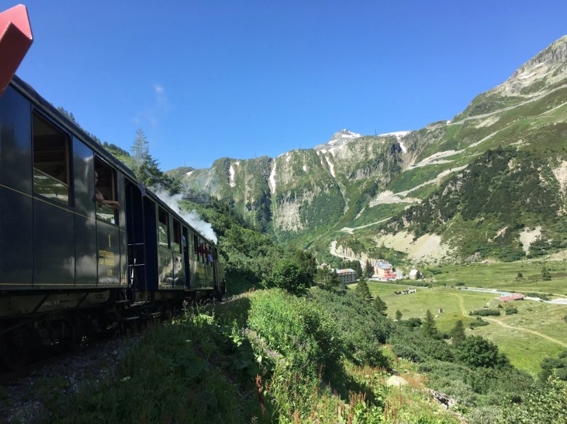
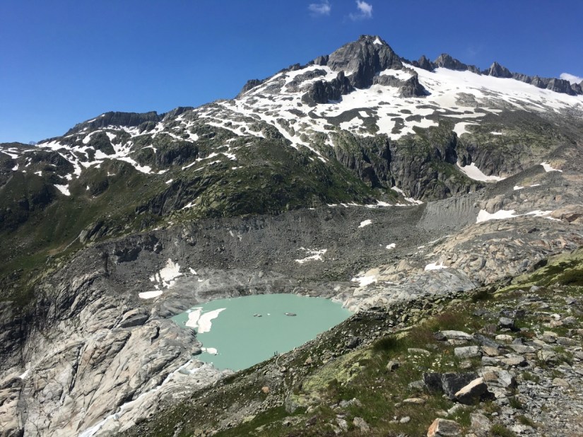
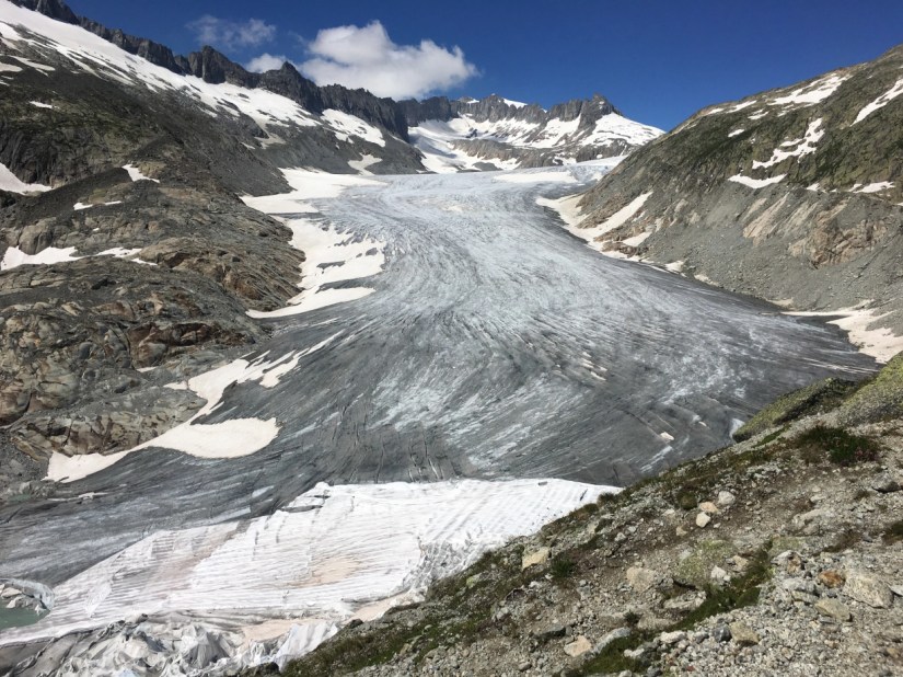
The last day was probably the hardest as we hiked over 1000 meters up to the Furka Pass. Shortly after Oberwald it started to go up. It was a beautiful hike along the old steam trainline that has been restored. Before Gletsch you see the pass road to the Grimsel. From Gletsch there is already a great view towards the Rhone Glacier. Although now you only see the rocks since the glacier has melted and is now further up. On the way up the Furka we even saw the steam train. The last bit was very steep an exhausting as the Furka is on 2429 m. And then it was only half an hour to see the Rhone Glacier. It is still very impressive but also sad to see how much has melted.


It was a verey beautiful hike and I absolutely recommend it if you feel fit and have the right equipment.
Here you find more information about the hike: http://www.vier-quellen-weg.ch/home/ and if you have any questions, please feel free to contact me.
