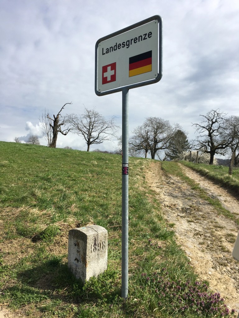
Basel-Stadt (Basel-City) is the smallest Canton in Switzerland, which makes it possible to walk around it in one weekend. It has three boarders, Germany, France and Canton Basel-Landschaft. I took this walk in the middle of March 2020 just before the boarders were closed because of the Corona pandemic. Even though I tried to follow the boarders around Basel as closely as possible, I crossed many times into France and Germany. Probably quite a few times without even realizing.
Day 1
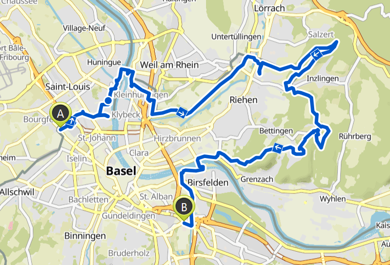
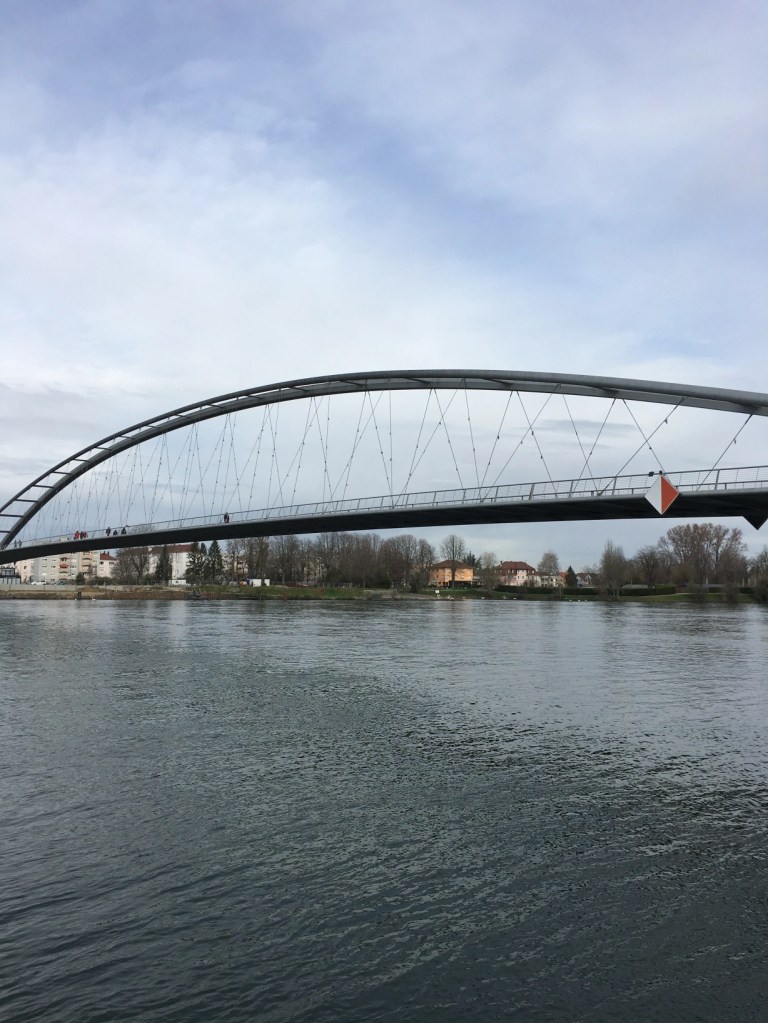
I started at the Burgfelder boarder to France. On the first kilometre I already go a bit lost because of a closed gate. Then again, a few hundred meters later when I misread the map around the industrial area of the Novartis campus. Finally, I made it to the Three-Country Bridge, which connects France with Germany.
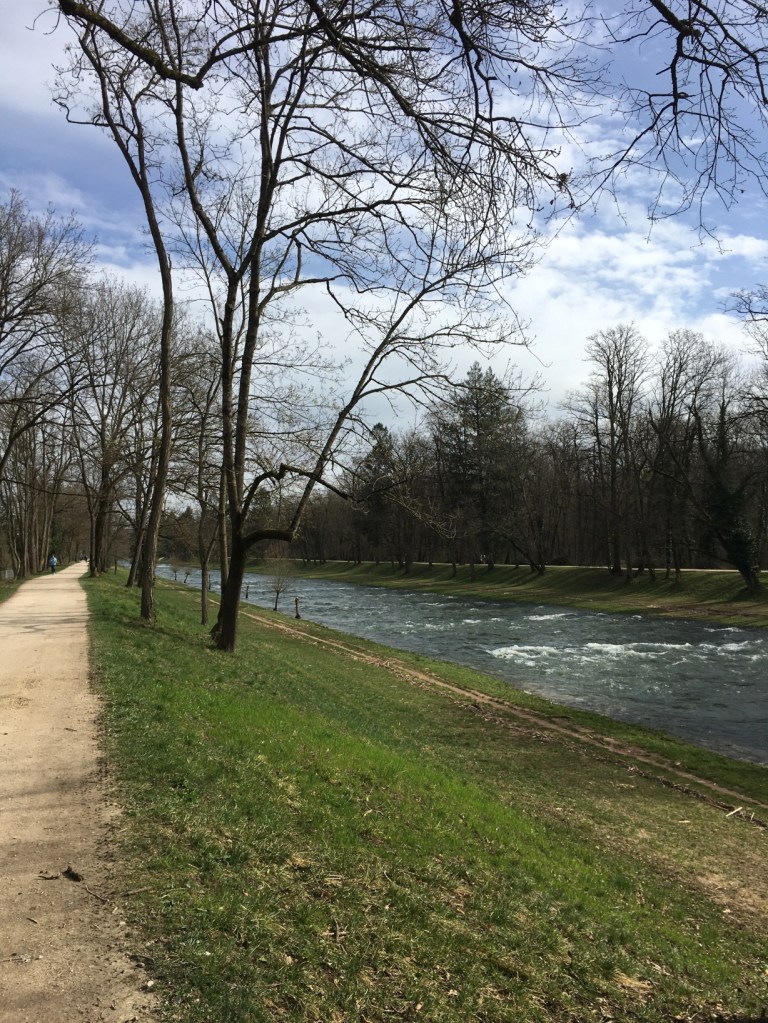
Then the path lead through the Rhine harbour next to Weil am Rhein. After the harbour the boarder goes through the Lange Erlen Park which is a nice forest. The boarder then follows the River Wiesen for quite some time.

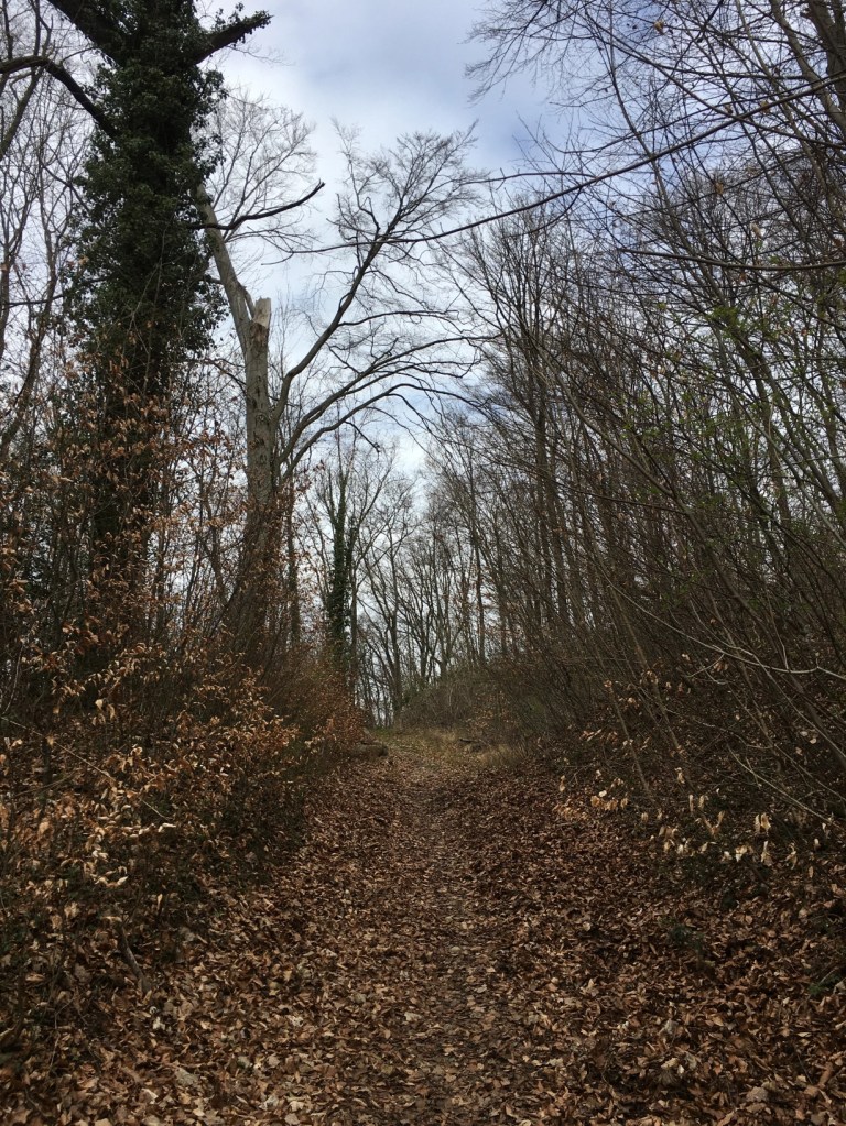
This first part still felt quite urban even though there was a lot of nature, but now I really went into the woods and it didn’t feel like I was still so close to the city.
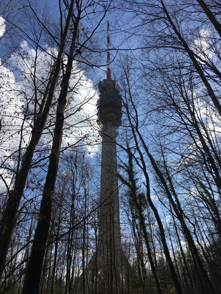
Sometimes it is strange what lines boarders follow. Why does a tiny part belong to one side and another to the other? The St. Chrischona tower is the tallest freestanding building in Switzerland (there aren’t many tall buildings around here) and is used as a TV tower.

The first day felt a lot more rural than I thought it would. I walked through the forest for several hours and hardly saw anyone. Even though it is only a few kilometre from the city centre.
Day 2
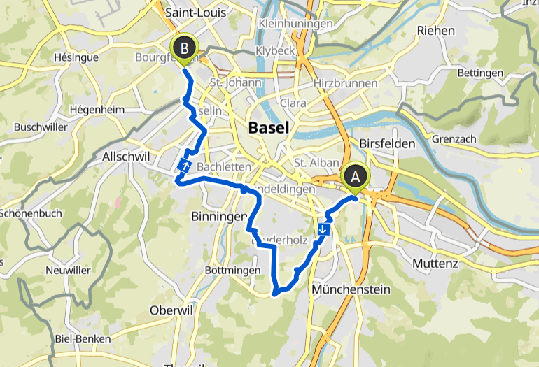
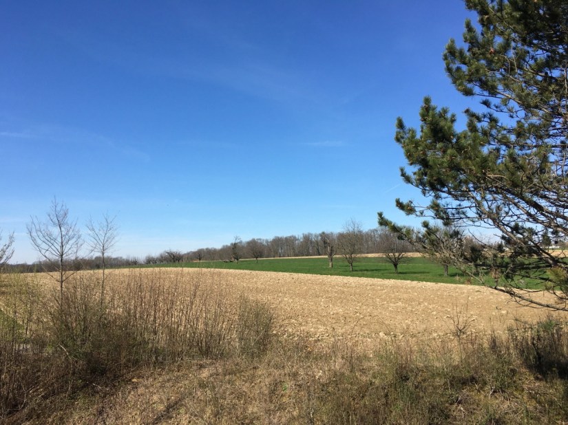
The second day was even sunnier and again I was surprised to see an industrial area on one side and beautiful nature on the other. The second day was a lot shorter and there was only one hill, Bruderholz. This is the most agricultural part of Basel.
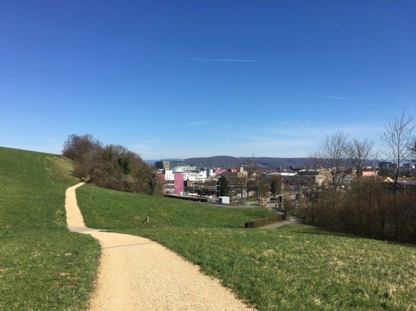

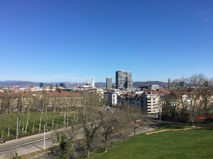
After the last view over the city, the boarder goes mostly through residential street as it is the border between the two cantons. There is even a street where the even house numbers belong to one canton and the uneven to the other.
The whole walk was just a bit over 50 km and even though I have lived here for many years, I discovered quite a few new corners.
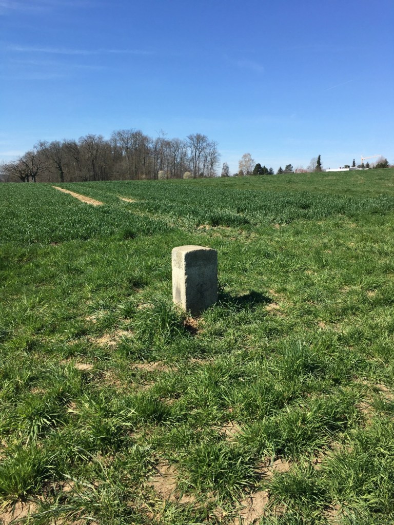
I saw lots of boarder stones likes the ones below.