Since I already walked across the UK, I thought it was time to do the same in Switzerland. It will be about 600 km with about 20’000m altitude difference. It should take 30 days. I will walk it in several sections as I can’t take a month off and also hiking in the Alps, for certain sections nice weather is essential. The easternmost point of Switzerland is Piz Chavalatsch (2762m). But when I started my hike on 7 June 2020, the weather was too bad to hike this high up. So, I started at the boarder to Italy. Not as spectacular, but safety comes first when I am alone in the mountains.
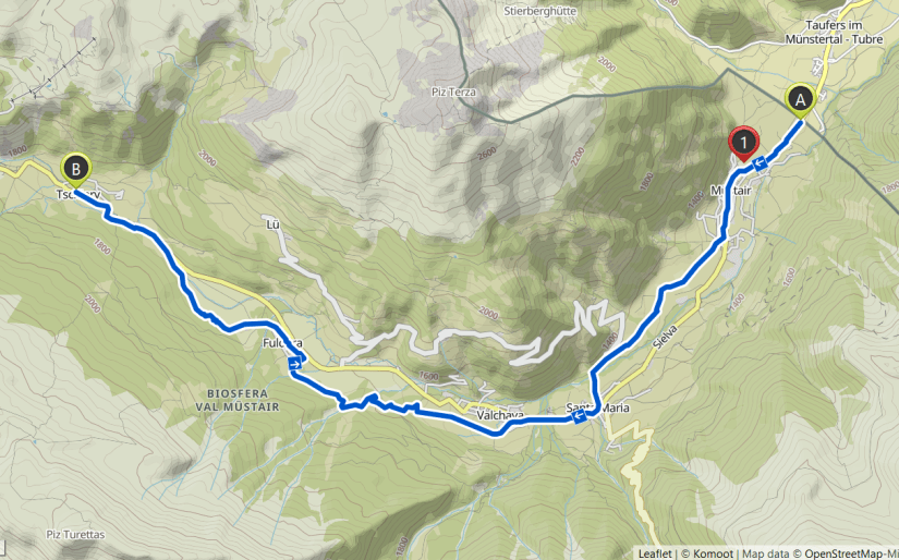
Day 1 – Müstair to Tschierv
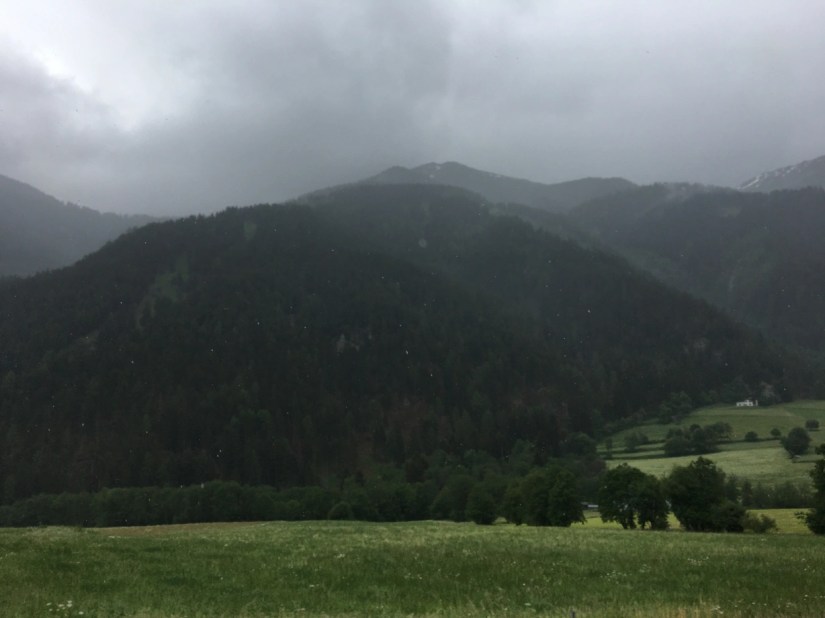
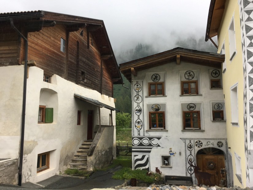
On 7 June I started at the Swiss-Italian boarder with my hike. It was one of the rainiest days in weeks. In the village of Müstair, there is of the oldest nunneries in Switzerland, the Saint John Abbey. It is an UNESCO World Heritage Site. I visited it a few years ago and it is worth a visit. Müstair is a very beautiful village, like many in Graubünden. Even the newer houses are built and painted in the traditional style.
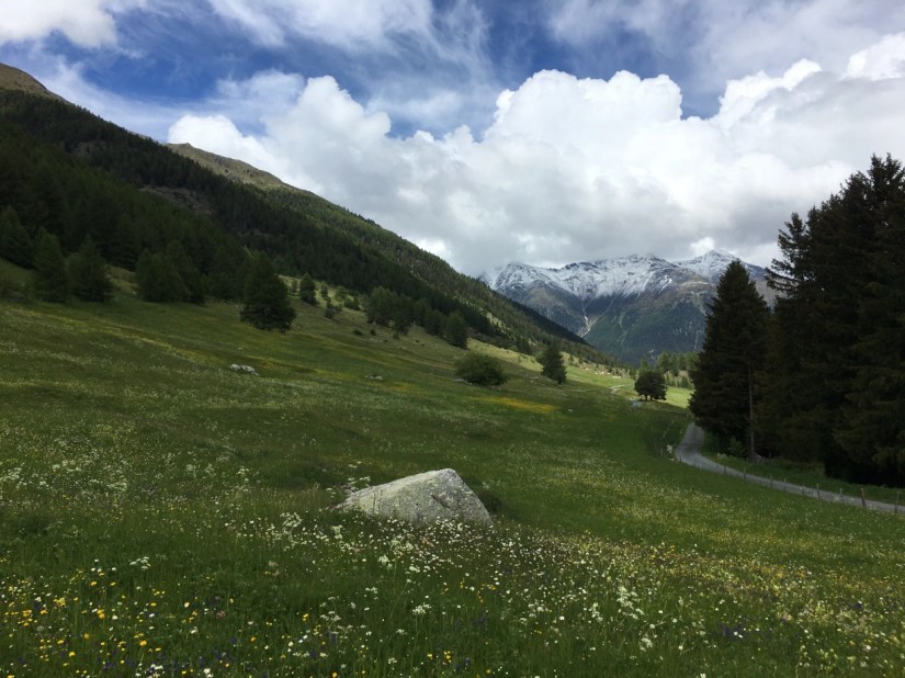
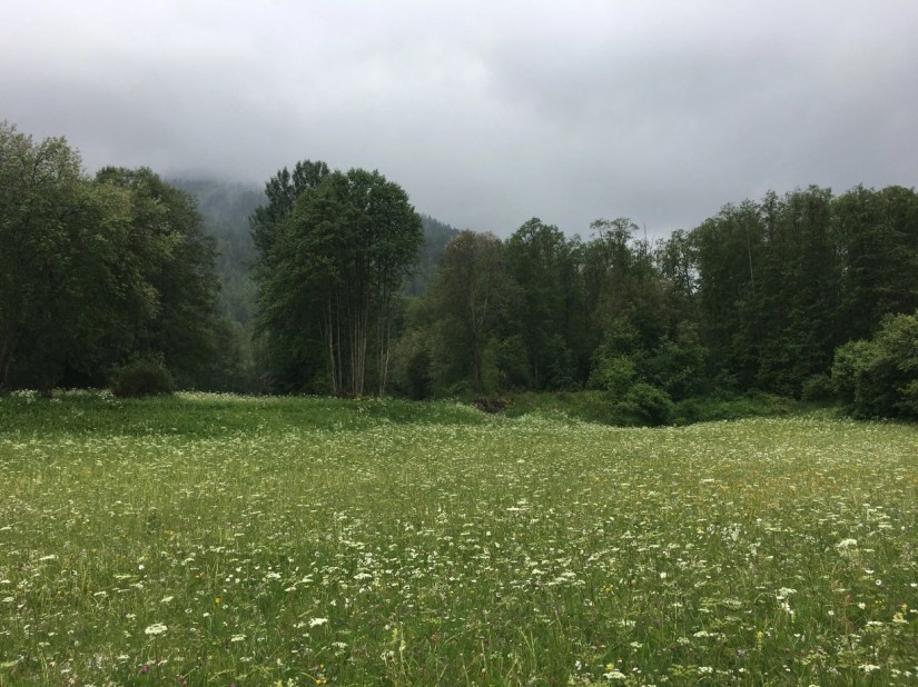
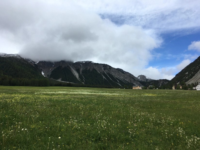
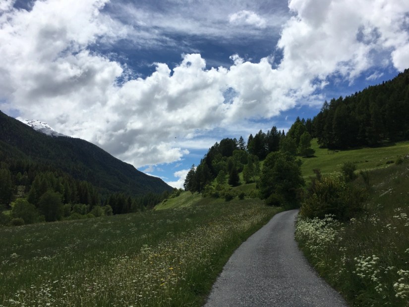
For a while it almost stopped raining, but by the end of the hike I was soaked. The Müstair Valley is above 1200 m and the meadows were in full bloom. I couldn’t take enough pictures of the colourful flowers. Even in the rain they were beautiful.
The second village on the way was Santa Maria, where I stayed in the Youth Hostel. I place I can highly recommend. The host is really nice, and it is in a historic building. My dorm was used by weavers in the 19th century.
The path continuetd up to about 1600 m in Tschierv. Fuldera, on the way, is another small but lovely village.

Day 2 – Tschierv to Ova Spin

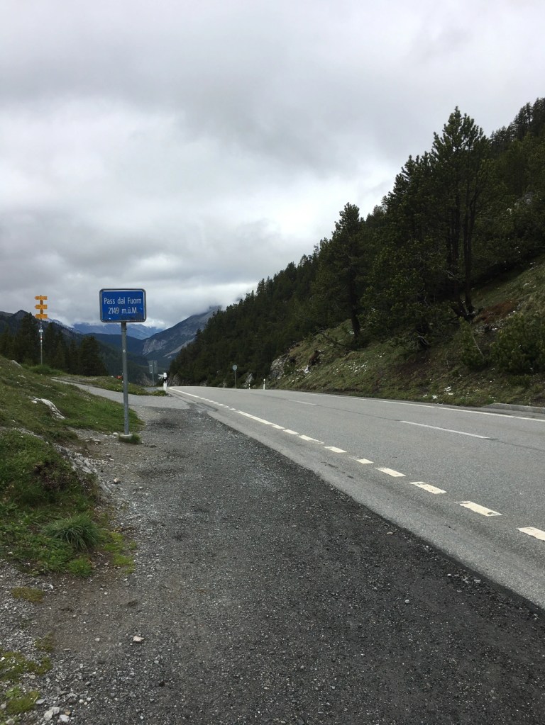
On the second day, 8 June, I crossed my first pass. The Ofenpass is open the whole year for cars, connecting the two valleys. Soon after Tschierv the meadows chanced into short grass as it is too high up for much to grow.
The path follows close to the pass road. Since it the weather had been pretty bad the day before, I even saw some patches of new snow, although it melted pretty quickly. At the pass, I stopped at the restaurant and had nice cappuccino.
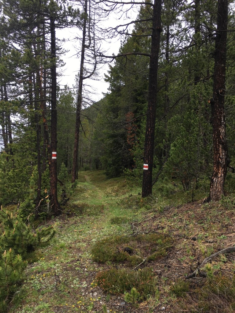
The hiking path after the pass is very nice and soon after you enter the Swiss National Park. It is the only national park in Switzerland, and it was established in 1914. It is the largest protected area of Switzerland with a 174.2 km². I followed path close to the road, but I hardly noticed the road and the path seemed very remote. I love fir trees surrounded by mountains and streams; it always reminds me of Canada. The view into the valley offered some spectacular views. I followed the Fuornbach (a stream coming from the Oven Pass) for quite some time.
At the restaurant Il Fuorn, I took another coffee break. After that the path followed a route away from the pass road and the landscape was a bit more rugged. For most of the day it was dry, but by the end it started to rain again. As I stayed another night in Santa Maria, I took the bus back over the Oven Pass.
Day 3 – Ova Spin to Cinous-Chel
The first part of the day, 9 June, I walked from Ova Spun down to Zernez. Ova Spin (1900m) is basically just two houses. Some sections of the path went down quite steep. I crossed several little streams, which looked lovely.
In Zernez, the largest village so far, I took a lunch break and then walked on. It is known as the gateway to the Swiss National Part. Zernez is part of the Lower Engadin, a region in Graubünden, where people speak Rhaeto-Romanic.

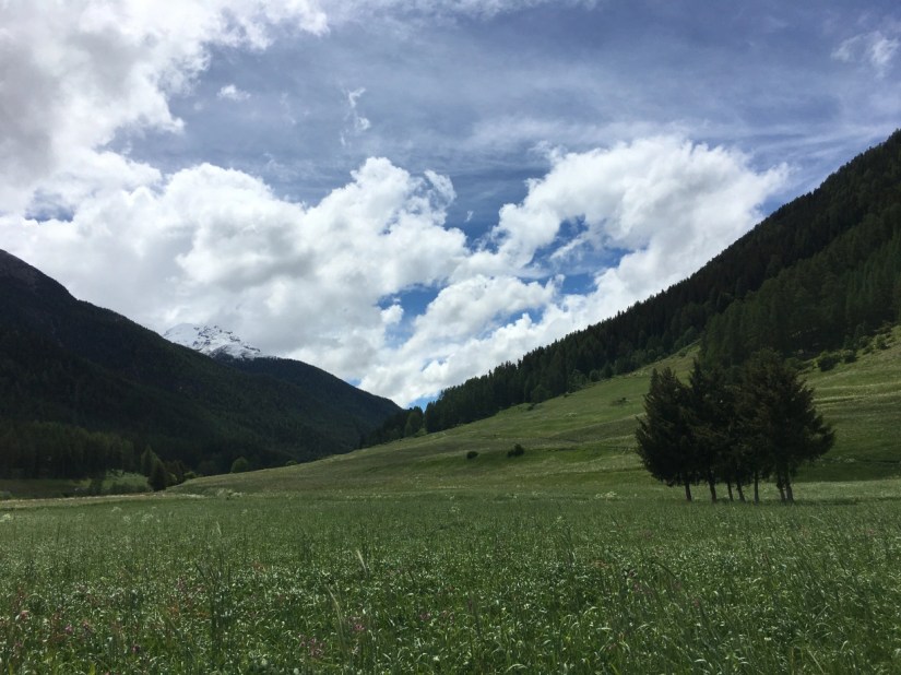
After Zernez the path was very easy. It was quite sunny and the landscape very lovely with more beautiful meadows. It ended up being more a stroll than a hike. Minutes before I reached the train station in Cinous-Chel, I saw a thunderstorm coming. As always, I was hoping I would be faster than the rain. No such luck, I ended up under a roof in the village still getting quite wet.
I took the train back to Zernez and stayed the night there. As the weather forecast was so bad for the next day, this first section of crossing Switzerland was over after just three days. But I can’t wait to get back soon.
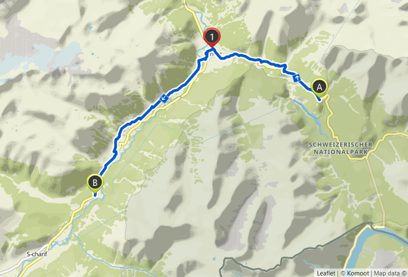
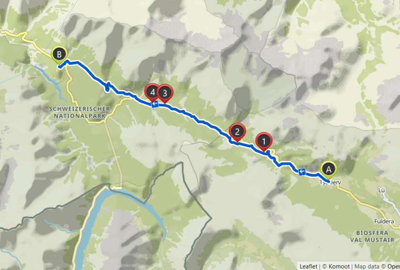
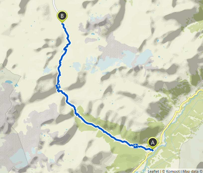
Day 4 – Cinous-Chel to Dürrboden
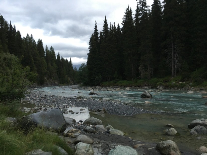
As I wanted to start quite early for another day on my hike across Switzerland, I stayed the night at a nice campground in Chapella. This was right next to where I finished last time. I camped my tent right next to the River Inn.
It was the first time I hiked this high up in the Alps on my own and also the first time I did it with my big backpack with the tent in it. I did go slower than I normally would, but other than that it really went well.

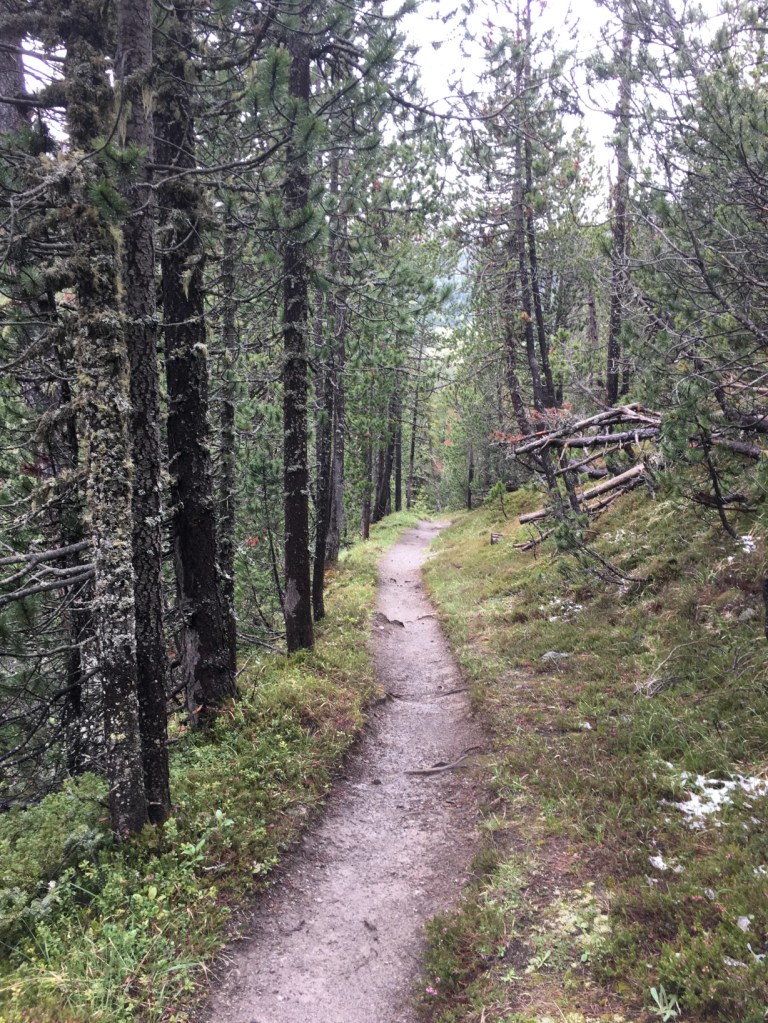
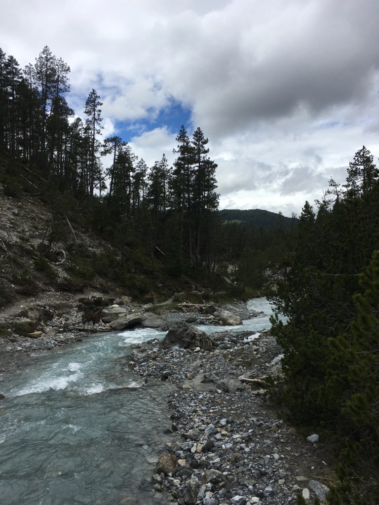
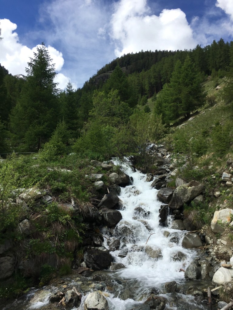
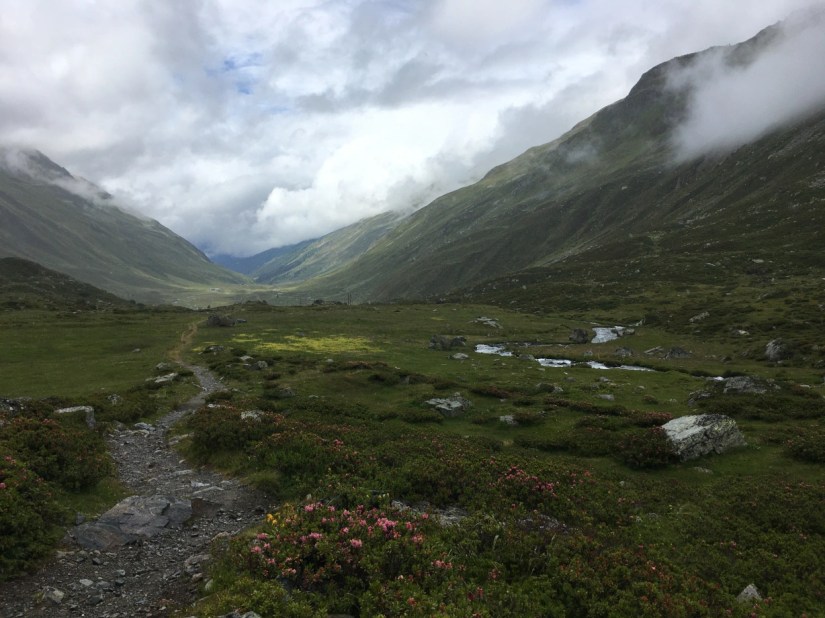
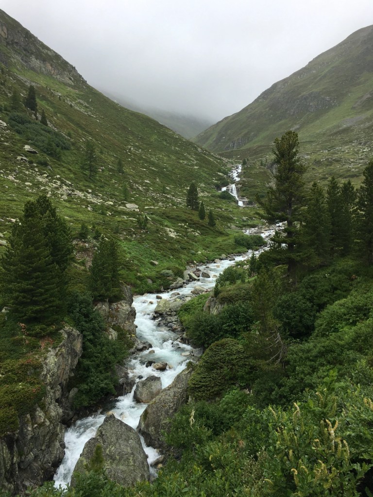
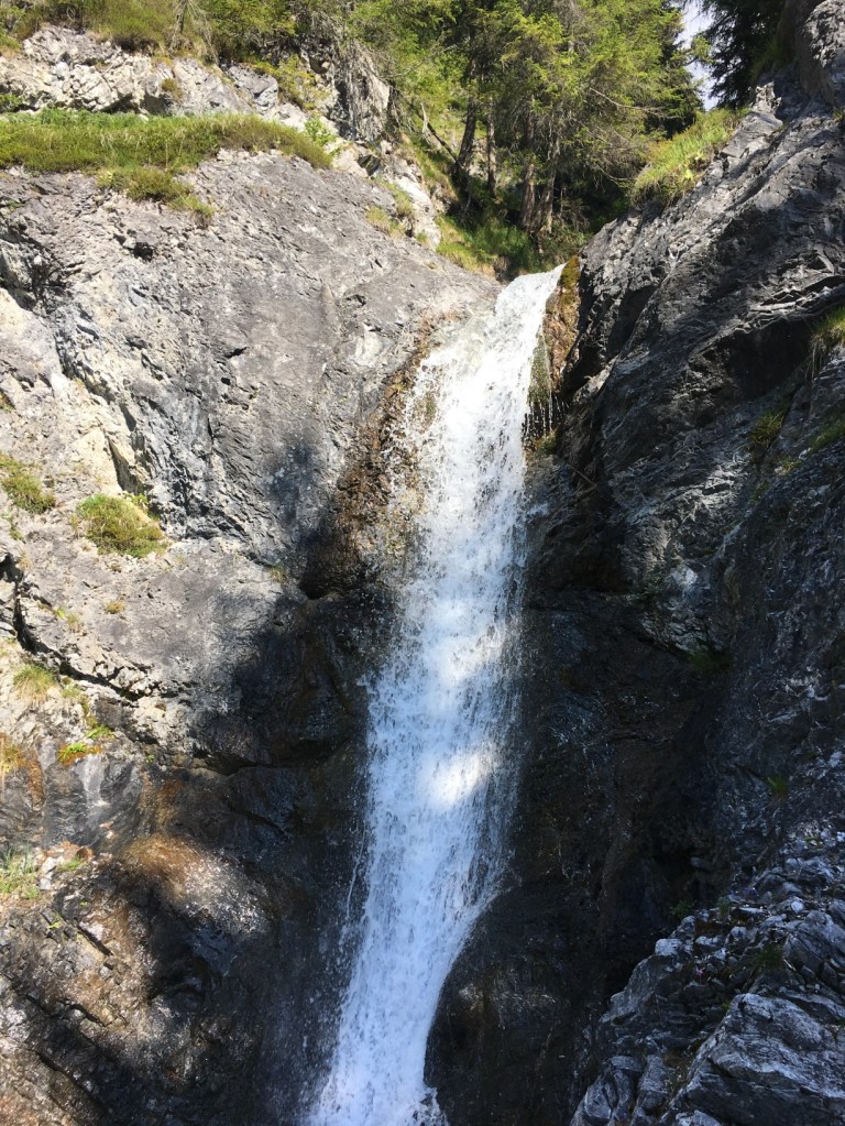
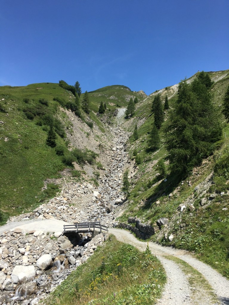
The first few kilometres in the morning were dry but I could already see the clouds. It started to rain and never really stopped again until I arrived in Dürrboden. At least it wasn’t a heavy rain. The path went steadily up through some beautiful woods and high valleys of Val Susauna. There were so many nice streams and small waterfalls and sometimes even water on the path, but it looked so nice. After Alp Funtauna, the last alpine cabin before the pass, the path became steeper and rockier. I could imagine the views in nice weather. Shortly before the top, there was even some snow left on the path.
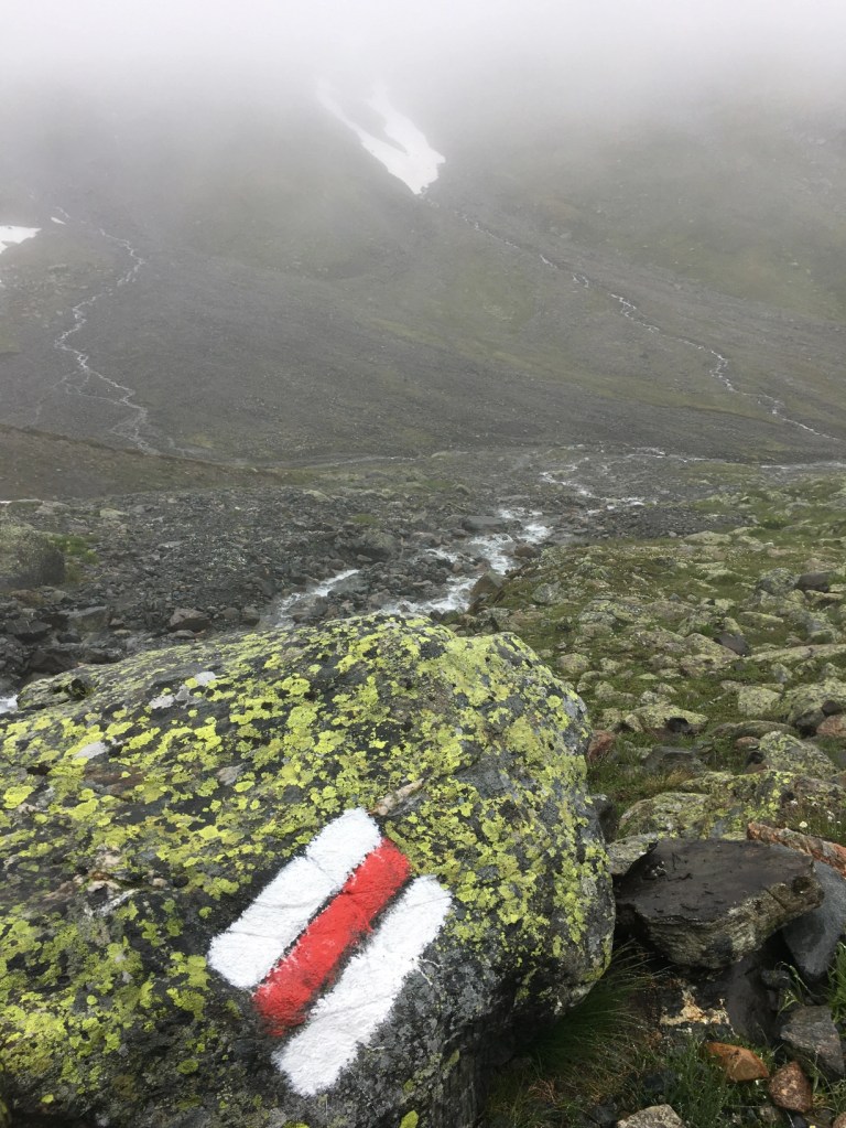
When I reached the Scalettapass at 2606m, I was so glad to see there was a bothy. I was very cold and needed a rest. So, I went in and had my lunch there. I only go warm again on my hike down but at least I got out of the rain. There was a couple in the bothy, and it was nice to complain about the weather for a few minutes as the forecast had been a lot better.

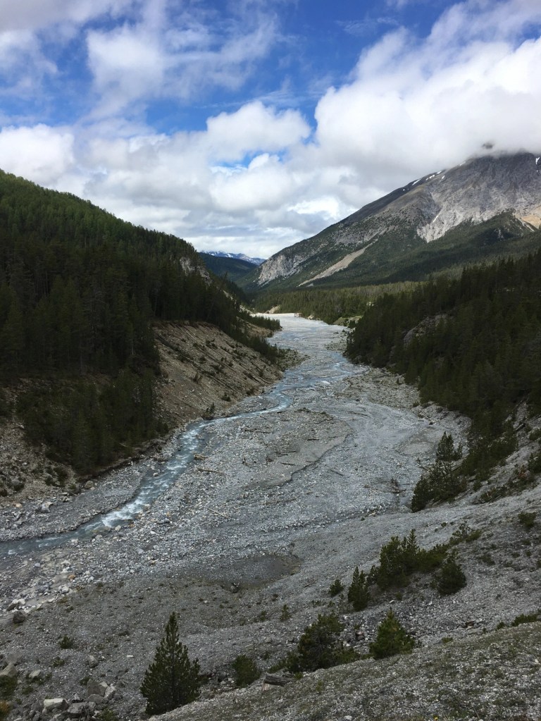
On the way down the clouds lifted a bit and I could see glimpses of the beautiful valley. I stayed the night at Dürrboden. The mountain cabin provides simple sleeping quarters, but the food was amazing. I got a very nice three course meal and a great breakfast. There were other hikers as well and I really enjoyed the evening.
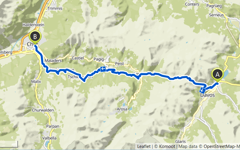
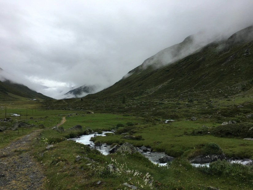
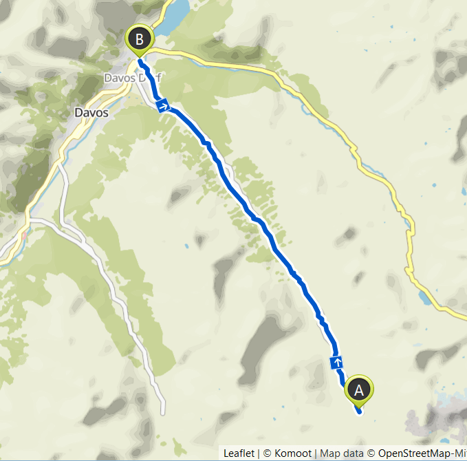
Day 5 – Dürrboden to Davos

The hike from Dürboden to Davos was short and easy as it went mostly down, but never steep, so basically the best way to hike down a mountain. It followed the Dischmàbach, which also gives the valley its name. There were some very small, but lovely hamlets along the way. It was only 13 kilometres, and it took me about three hours. It was still raining a bit, but it wasn’t really bothering me as it had been in the weather forecast. After arriving in Davos, I took the train to explore more of Graubünden.
Day 6 – Davos to Chur
This was a very long day. I wasn’t sure if I would be able to walk that far and in the end, it needed some will power as well. But I felt pretty fit the last few weeks. In the end I walked 38 km with 1370 uphill and 2350 downhill. The day started out really warm, but soon I could see that a thunderstorm would come after about two third of the way it started to rain.
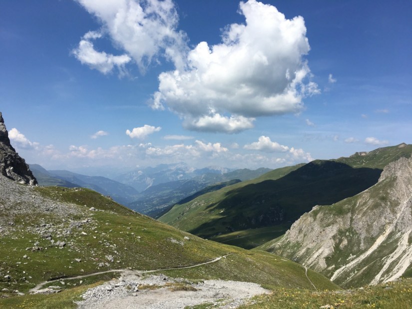
From Davos I first walked up to the Schatzalp and from there further to the Strelapass. The views were very beautiful looking back down to Davos but also ahead to the pass. In the winter this is a ski resort and I always find it interesting to imagine how the slopes will look.
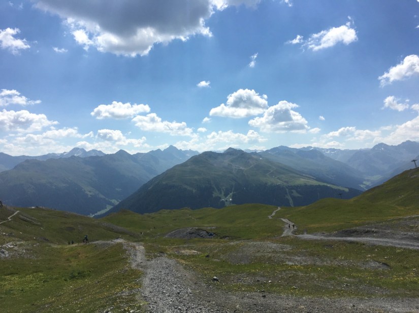
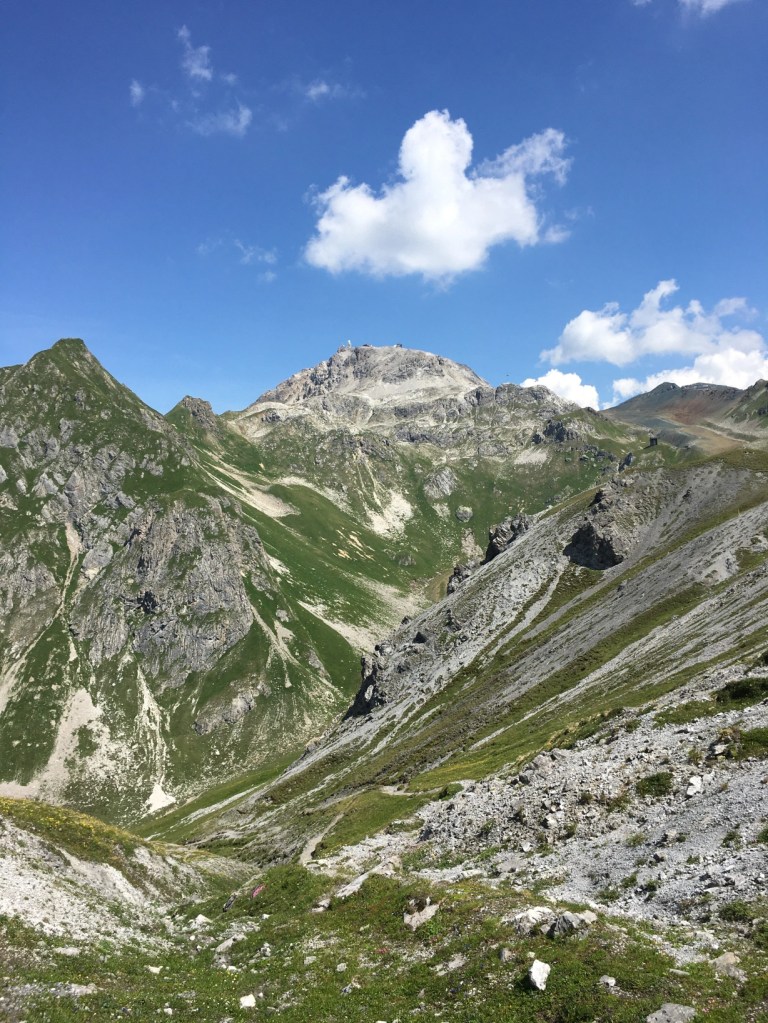
The Strelapass is the third pass on my hike across Switzerland. After the pass there were some amazing views towards the valley below and I also had a nice view towards the Weissfluhjoch. Getting down from the Strelapass was a bit of a scramble, but afterwards it was a easy hiking path often through forests.
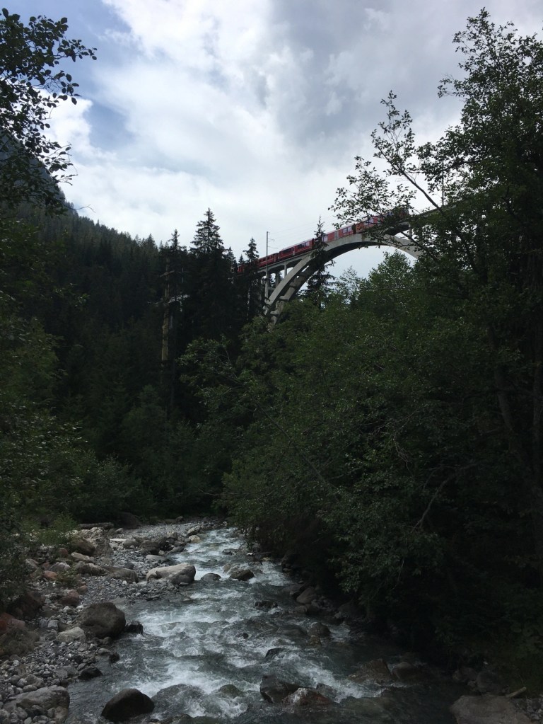
The villages and hamlets along the way were pretty with old wooden houses and cute churches. The highlight was the Langwieser Viaduct. When it was completed in 1914 it was the first railway bridge in the world that was longer than 100 m and it was made of concrete so that it still looks very modern.
After about 30 km I reached the village of Tschiertschen, were I decided all the way to Chur, I took a few shortcuts along the road, but I was still very glad when I finally arrived in Chur, especially because it rained the last 10 kilometres.